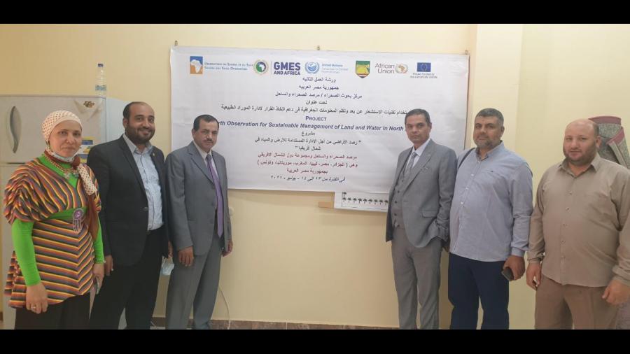
As part of the GMES & Africa project and under the chairmanship of H.E. Mr. Al-Quseir, Minister of Agriculture and Land Reclamation and Chairman of the OSS Executive Board, the second workshop on “Using Remote sensing Technologies and GIS as a decision-making support tool for natural resources management” was launched on June 13 - 14, 2021 - Siwa Oasis.
The workshop aimed at having the project services identified, disseminated and used by end-users and beneficiaries, training end-users/beneficiaries and stakeholders on the use of the MISLAND/MISBAR platforms, providing an overview of remote sensing techniques and data used in modelling exposure to desertification, training end-users to monitor vegetation degradation using practical MISLAND web service and the additional MISLAND QGIS component through practical use cases and creating base maps and elevation models using the practical MISBAR web service
- Log in to post comments
